
Description
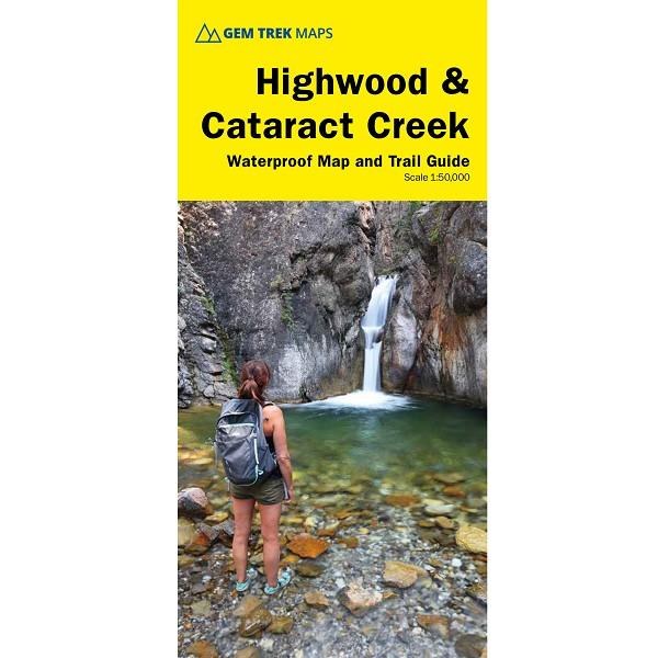
The Highwood & Cataract Creek Map covers the southern portion of Alberta’s Kananaskis Country, from Sheep River Falls in the north to Plateau Mountain in the south. It extends coverage south where the Bragg Creek & Sheep Valley map leaves off, and east of the Kananaskis Lakes map coverage. It includes hiking and equestrian trails southeast of Highwood Pass accessed by Highways 40, 541, 940 and 542 (Johnson Creek Trail). Popular hiking trails on the Highwood & Cataract Creek Map include Sheep River Trail, Junction Fire Lookout, Picklejar Lakes, Mt. Lipsett, Mist Ridge, Zephyr Creek, Grass Pass, Bull Creek Hills, Mt. Burke and Raspberry Ridge. A 1:50,000-scale inset map on the back increases coverage south to take in the trails accessed from Highways 940 and 542, including Pasque Mountain, Plateau Mountain, Hailstone Butte Fire Lookout and Indian Graves Ridge.
Details
Activity: Hike: Day Hiking, Hike: Backpacking
Brand: Gemtrek
Category: Library
Product Sub-category: Maps
Features: Waterproof