
Description
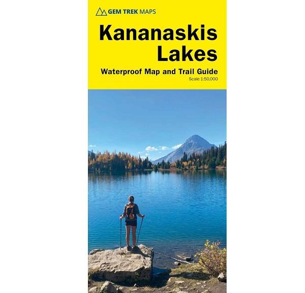
The Kananaskis Lakes Map covers Peter Lougheed Provincial Park and the northern extent of the map is Opal Day Use area on Highway 40 and Engadine Lodge on the Smith-Dorrien/Spray Trail. The southern portion of the map covers Elk Lakes Provincial Park, in British Columbia. Popular hiking trails on the Kananaskis Lakes Map include Elbow Lake, Chester Lake, Burstall Pass, Headwall Lakes, Kananaskis Lookout, Upper Kananaskis Lake Circuit, Rawson Lake, Elk Lakes, and Ptarmigan Cirque. For adventurous hikers, the remote southern reaches of Banff National Park near Leman Lake are included, as is the trail over Elk Pass to Elk Lakes Provincial Park. A 1:25,000-scale inset map on the back highlights the Kananaskis Lakes area, including extra detail of hiking trails and campgrounds.
Details
Activity: Hike: Day Hiking, Hike: Backpacking
Brand: Gemtrek
Category: Library
Product Sub-category: Maps
Features: Waterproof